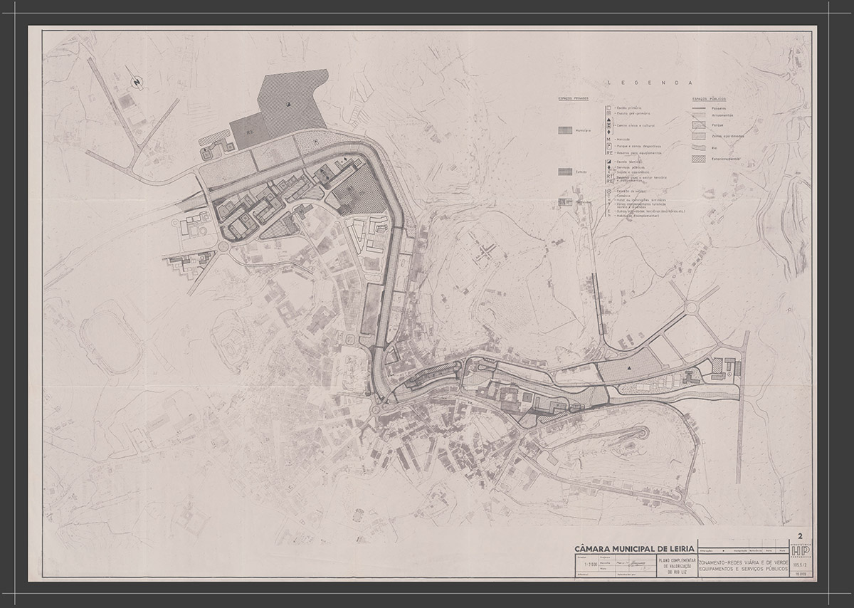
The city is densifying. Its expansion to the south is conditioned by the Lis and Lena valleys and the estate “Prisão Escola”. The city grows along the axes defined by the roads of Cortes and Telheiro – Barreira. Downtown’s occupation towards the north was also a reflection of the 1960’s, with the beginning of the occupation of edges of Av. Heróis de Angola. The Ante-Urbanization Plan prepared by the Portuguese Hydro-technic, based on the aerophotogrammetric cartography of 1966, is accompanied by other studies, such as the Plan for the River Lis Area Enhancement and the Plan for the Remodelling of Leiria City Centre.


